BAPITECH is capable of developing and implementing Integrated Management Information Systems (IMIS): A comprehensive, computer-based platform that seamlessly integrates and manages organizational data to ensure operational efficiency. It supports end-to-end processes including data acquisition, validation, storage, analysis, planning, monitoring, and reporting across diverse functional domains. By delivering accurate, timely, and actionable insights, IMIS empowers evidence-based decision-making, enhances institutional transparency, and optimizes overall organizational performance.
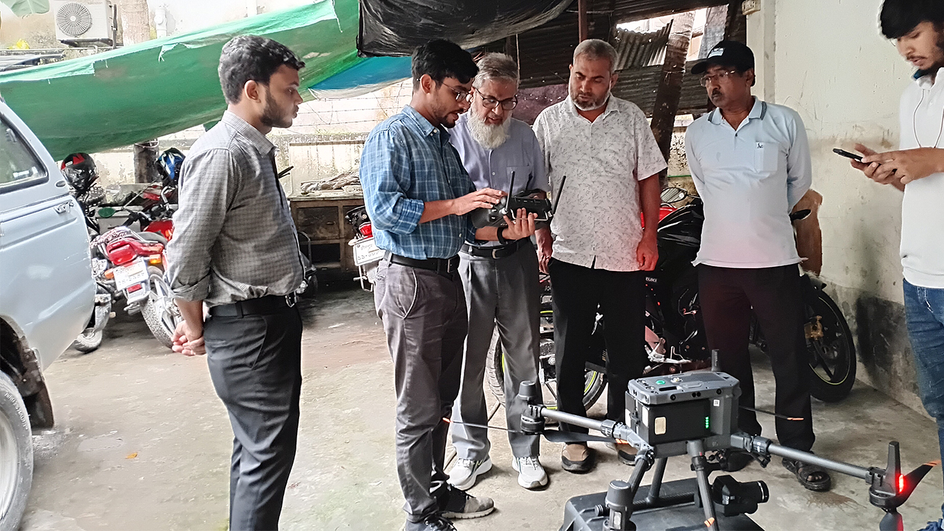
BAPITECH is an experienced consulting firm in Geographic Information System (GIS) and Remote Sensing services: The firm leverages advanced technologies for spatial data acquisition, processing, analysis, and visualization. Remote Sensing techniques—utilizing satellite imagery, aerial photography, and drone-based sensors—facilitate the precise capture of Earth surface information. GIS integrates these datasets with spatial and non-spatial information to analyze patterns, monitor changes, and support data-driven decision-making. Through these combined capabilities, BAPITECH provides robust solutions in accurate mapping, natural resource management, environmental monitoring, disaster risk assessment, and urban and regional planning.
Topographic Survey using Total Station and RTK GPS: BAPITECH has expertise in conducting high-precision topographic surveys utilizing Total Station instruments and Real-Time Kinematic (RTK) GPS technology. Total Stations enable accurate measurement of angles, distances, and elevations, while RTK GPS provides centimeter-level positioning accuracy in real time. By integrating these advanced surveying techniques, BAPITECH ensures the reliable collection of geospatial data for detailed mapping, land development, infrastructure design, construction planning, and monitoring projects with the highest standards of accuracy and efficiency.
Socio-Economic Survey: BAPITECH specializes in conducting comprehensive socio-economic surveys to evaluate community demographics, livelihoods, and development priorities. The methodology integrates quantitative and qualitative data collection techniques, including household surveys, key informant interviews (KIIs), focus group discussions (FGDs), and participatory assessments. Collected data are systematically analyzed to provide evidence-based insights for policy formulation, program planning, impact assessment, and sustainable development interventions, with particular attention to vulnerable and marginalized populations.
Topographic Survey of Cumilla Cluster Towns under the “Detailed Engineering Design for Water Supply and Sanitation for Cumilla, Ishwardi Cluster Towns & Khagrachari Town (DED-CTK), (S-02/PMU)”.

