Projects and Experience
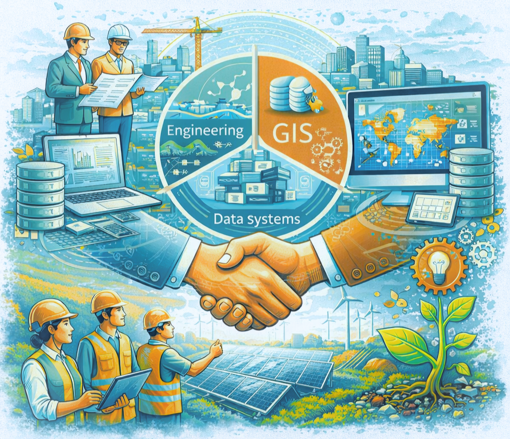
BAPITECH has extensive professional experience in delivering integrated planning, engineering, and geospatial solutions across Bangladesh and international contexts. The organization combines technical excellence, field experience, and digital innovation to support development projects, infrastructure planning, and data-driven decision-making.
Multi-Sector Project Experience
BAPITECH has successfully contributed to a wide range of sectors, including:
- Water Supply & Sanitation Systems
- Drainage & Urban Infrastructure
- Roads, Bridges & Culverts
- Irrigation & Flood Control
- Environmental & Climate Studies
- Land Management & Planning
These projects include both design and implementation support, ensuring practical and sustainable outcomes.
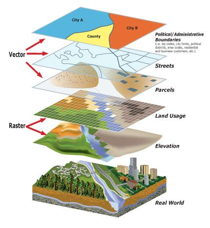
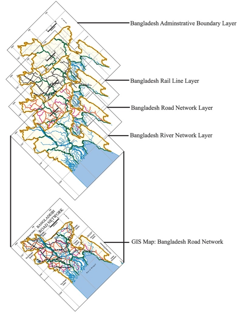
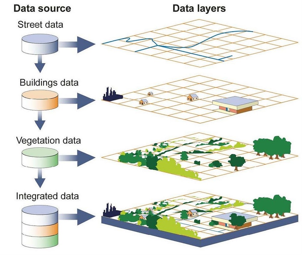
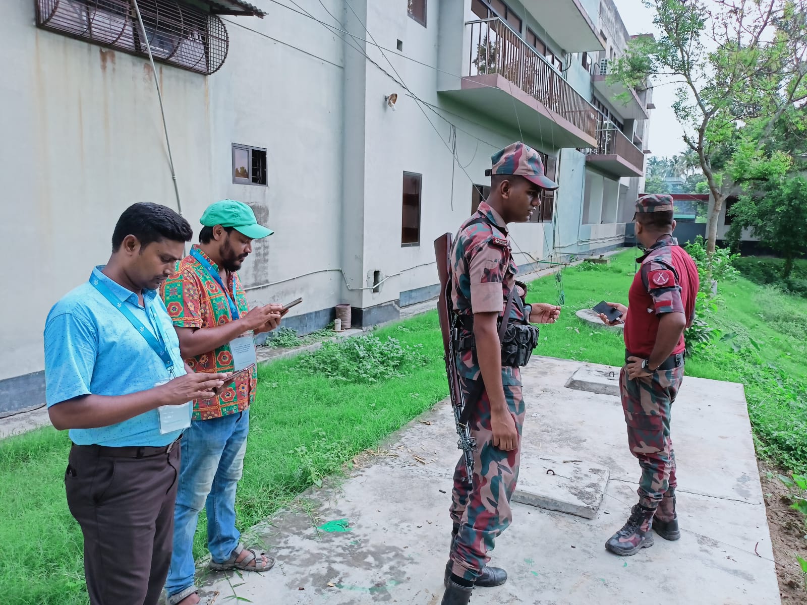
GIS, Survey & Geospatial Expertise
A core strength of BAPITECH is advanced geospatial capability:
- Geographic Information Systems (GIS) analysis and mapping
- Remote sensing and satellite image interpretation
- Total Station, GPS, and drone survey data processing
- Mouza map digitization and land information systems
- Topographic and contour mapping
This expertise enables high-precision spatial planning and decision support systems.
Engineering Design & Technical Services
BAPITECH provides full-cycle engineering consultancy:
- Master planning and feasibility studies
- Detailed engineering design and drawing preparation
- Quantity estimation and BOQ preparation
- Supervision and quality control
- Infrastructure assessment and rehabilitation planning
The firm ensures compliance with national and international standards.
Data Systems & Digital Solutions
BAPITECH integrates technology into development planning through:
- Information Systems (MIS)
- Database design and data management
- Digital mapping and web-based GIS platforms
- Monitoring & evaluation (M&E) systems
- Data visualization and reporting tools
These solutions support evidence-based planning and policy formulation.
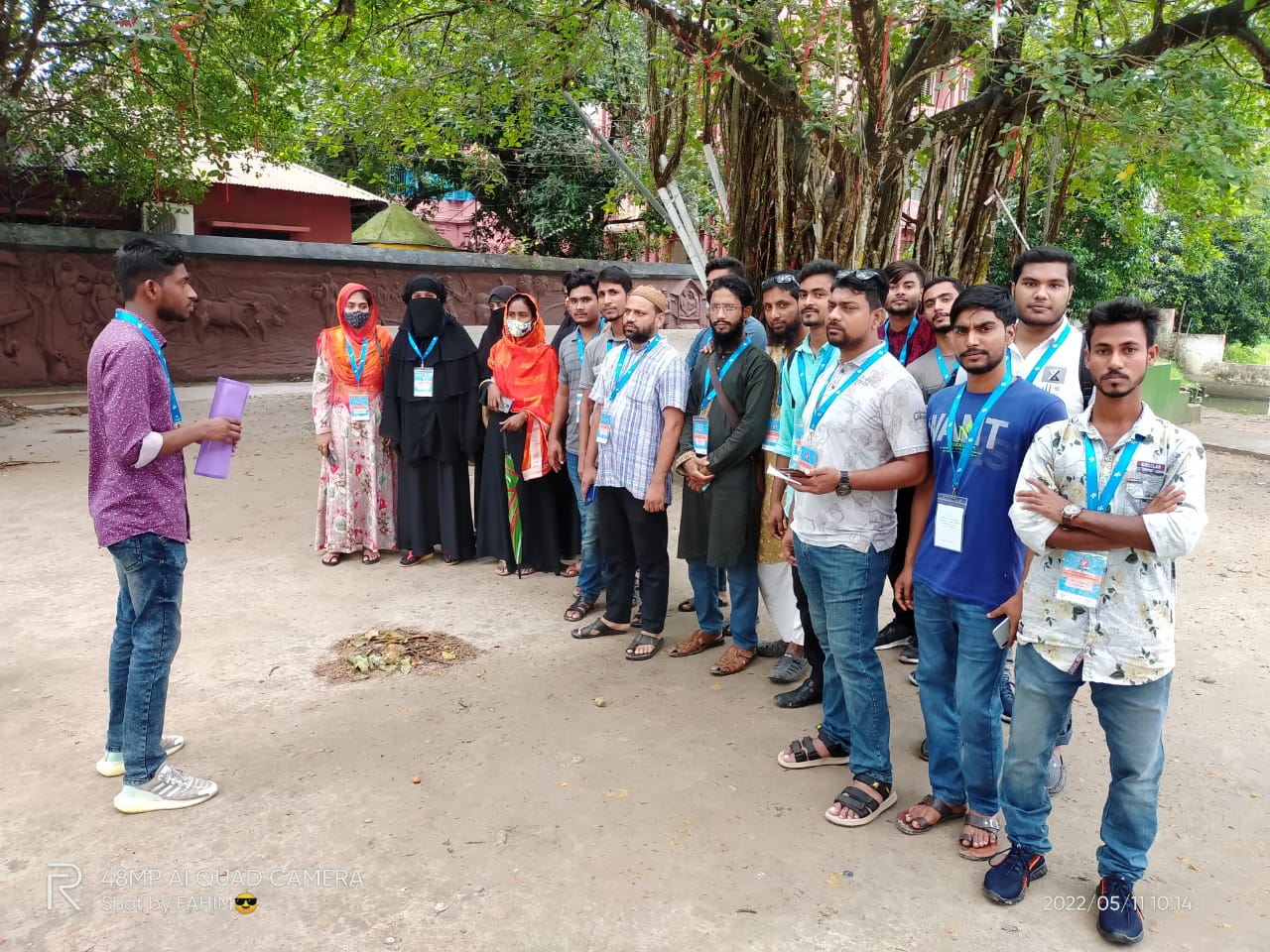
Research, Survey & Field Operations
BAPITECH has strong experience in large-scale field data collection and analysis, including:
- Socio-economic and baseline surveys
- Key Informant Interviews (KIIs) and Focus Group Discussions (FGDs)
- Climate vulnerability and impact assessments
- Gender and social inclusion studies
- Community-based research
This ensures accurate ground-truth data for development projects.
Project Portfolio & Leadership
- 20+ major development projects completed
- 30+ years of professional experience in engineering and GIS sectors
- Work experience across Bangladesh, India, and Afghanistan
- Collaboration with government agencies, NGOs, and international organizations
+ Projects completed
+ Years of experience
Value Proposition
BAPITECH stands out for:
- Integrated approach (engineering + GIS + data systems)
- High-quality technical delivery
- Strong field implementation capacity
- Cost-effective and practical solutions
Commitment to innovation and sustainability