Executive Summary
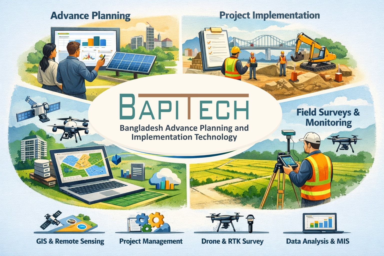
Bangladesh Advance Planning and Implementation Technology (BAPITECH) is a technology-driven geospatial and data consulting firm specializing in advanced surveying, mapping, and digital information systems for development planning and infrastructure projects.
The firm offers comprehensive geospatial solutions, including drone/UAV surveying,
RTK/GNSS-based mapping, GIS and spatial database development, remote sensing analytics, and
Integrated Management Information System (IMIS) engineering. BAPITECH provides end-to-end services
covering data acquisition, photogrammetric and LiDAR processing, orthomosaic generation, 3D
modeling, topographic and engineering surveys, and socio-economic and environmental assessments.
By integrating high-precision field survey techniques, satellite imagery, and advanced digital
technologies, BAPITECH generates reliable spatial intelligence to support infrastructure
development,
municipal management, water supply and sanitation (WASH) systems, disaster risk assessment, land
administration, and evidence-based planning.
With a multidisciplinary team of survey engineers, GIS specialists, remote sensing analysts, and data system developers, BAPITECH has demonstrated strong experience in supporting government agencies, development partners, NGOs, and research institutions. The firm is committed to maintaining high standards of data quality, methodological rigor, and technical reliability, ensuring the delivery of accurate, timely, and actionable results for sustainable development and informed decision-making.